THE RADAR LOOP
Designed for · runners
Distance · about 10 km
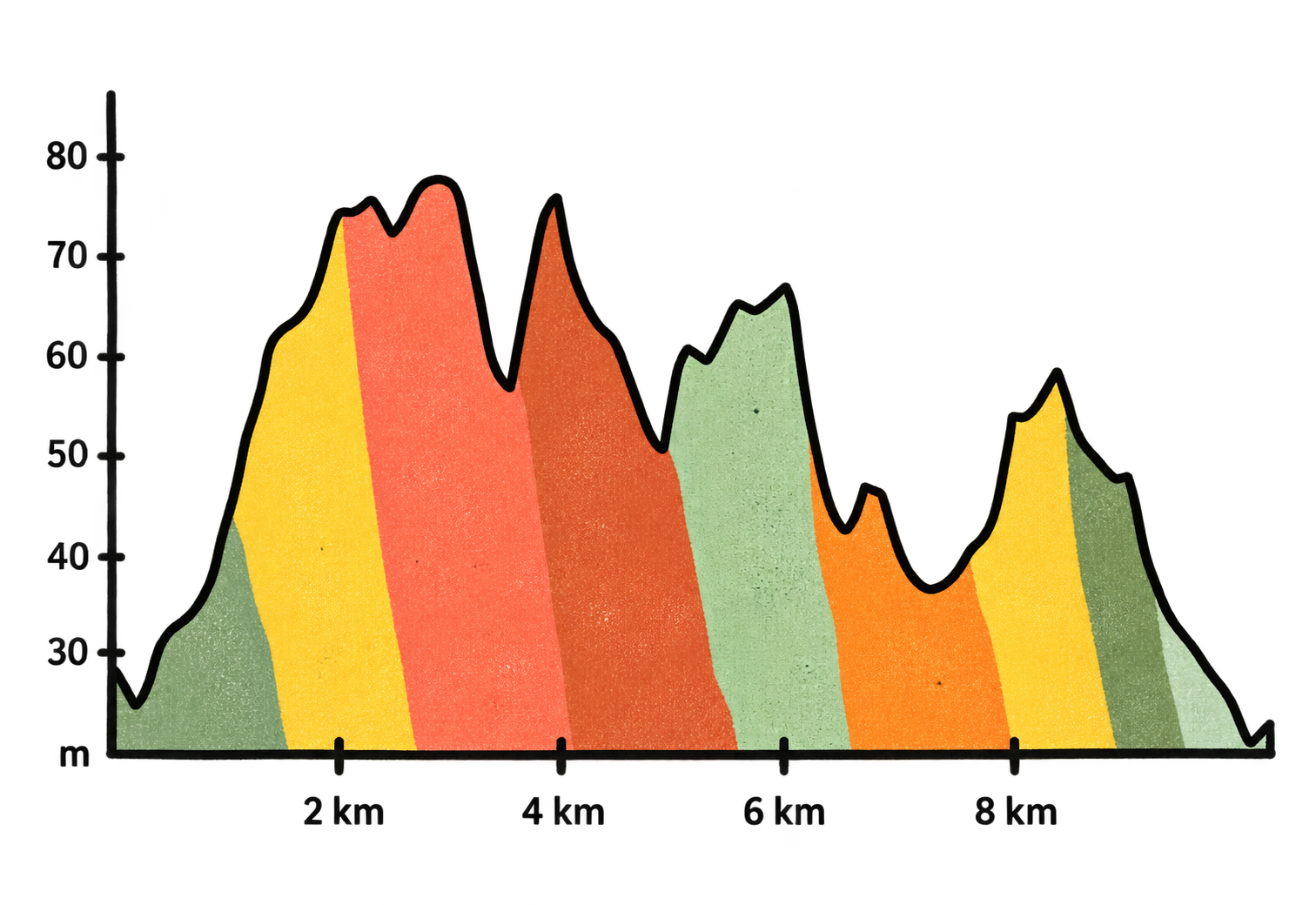
Elevation · 122 m
THE PERSONALITY ◇
Gentle ─────────●── Tough Nature ─────────●── Concrete
Hidden ──●───────── Busy Sheltered ─────●────── Windswept
The Views · ★★
UNDERFOOT 〜
Mainly tarmac. Footpath. A small section of woodland.
THE PLAYLIST ♫
Traffic · Flustered pheasants · Gaggle of partridges · Heavy breathing
THE CHANCE OF stopping and booking a taxi at the foot of Hungry hill 🚕- 15%
THE UNWRITTEN RULE
Wise to take the down hills as recovery rather than excuses to sprint - your legs will thank you later.
🏃♀️ THE RUN 🏃♂️
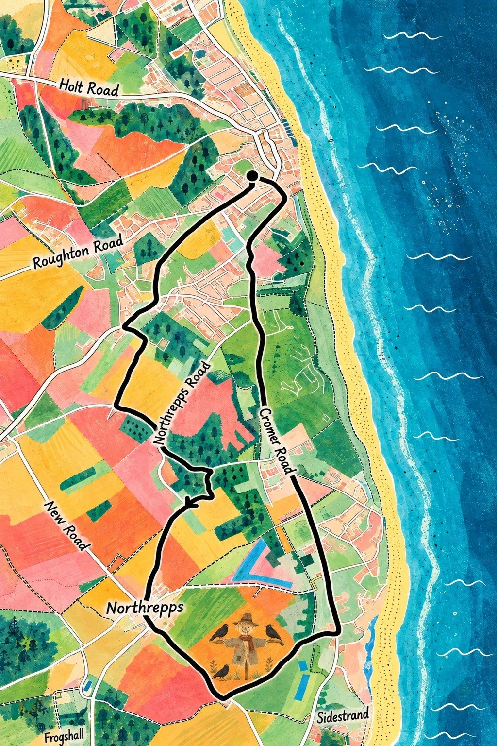
This is a good all rounder 10km that loops round the Radar Station📡.
Its hard to get too comfortable on this one as the hills just keep coming. Remember what goes up must come down - there are plenty of long downhill spells to recover. Its a good one for going up and down the gears.
The rolling hills will make you work hard. The quiet lanes, the company of partridges and the shady dip through the woods🌳 all make it worth the effort. When you see the Radar Station there’s just a few kms to go.
(It’s The Norwich Road Loop but just pushed a little further).
THE PRACTICALS
𓃦 The Doggy verdict: Not ideal as lots of road running and little pavement.
○ ○The Shoe Situation: Road pair
♂ ♀ The Loos: Non on route
➤ The Start: Bottom of Norwich Road
■ The Finish: Bottom of Norwich Road